July 13, 2013

JULY 9 & 10, 2013 DEAD HORSE POINT STATE PARK AND CANYONLAND – ISLANDS IN THE SKY

After a day of rest we ventured over to Dead Horse State Park which was about a 1 hour drive from the RV Park.  Dead Horse Point is rumored to have gotten its name from cowboy legend.  The cowboys used the point as a natural corral to catch the wild mustangs that roamed the area.  At one roundup they took what horses they wanted and left the rest on the point with the fence still in place.  Due to heat with no water and no way to get off the point the horses slowly died.  Hence the name, or so it goes.


We did not get a real early start so when we arrived the sun was almost overhead so it was not a good time to be taking pictures.  It was also very hazy and we were told that it was the result of a forest fire burning in Colorado.  We took a few pictures anyways but decided not to stay too long.


We headed down the road to Canyon National Monument.  This time we were in the portion called Island in the Sky and we wanted to do a little hiking, emphasis on little.


We decided to do our hike first so we headed to Upheaval Basin.  I didn’t know the up in Upheaval Dome really and truly meant up.  We left the trail head and started up and up and up.
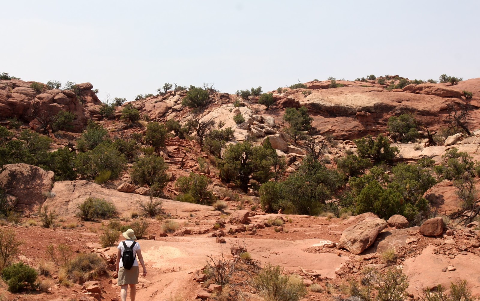

Starting Up


And Up


What are you waiting for, slowpoke.


And up some more


The last little bit.


We reached the first overlook and discovered that Upheaval Dome is still a mystery. The rock layers below are fractured and tilted, forming a circular depression more than 2 miles wide.  Scientists still debate what forces disrupted these once-orderly rock layers. Erosion exposed many clues, but others lay buried.  The visible evidence supports different explanations.  We continued on to the second overlook, took a few pictures and then headed back down.


The next stop on our agenda was Green River Overlook but on the way we stopped at Whale Rock and Aztec Buttes.
Whale Rock


Aztec Buttes


When we reached Green River Outlook the sun was in a bad position for taking pictures.  The fog, mist or smoke, we are not sure which made all of the pictures very hard to see.  So I only posted one.  The view was still great to the human eye; it just wasn’t suitable for pictures.


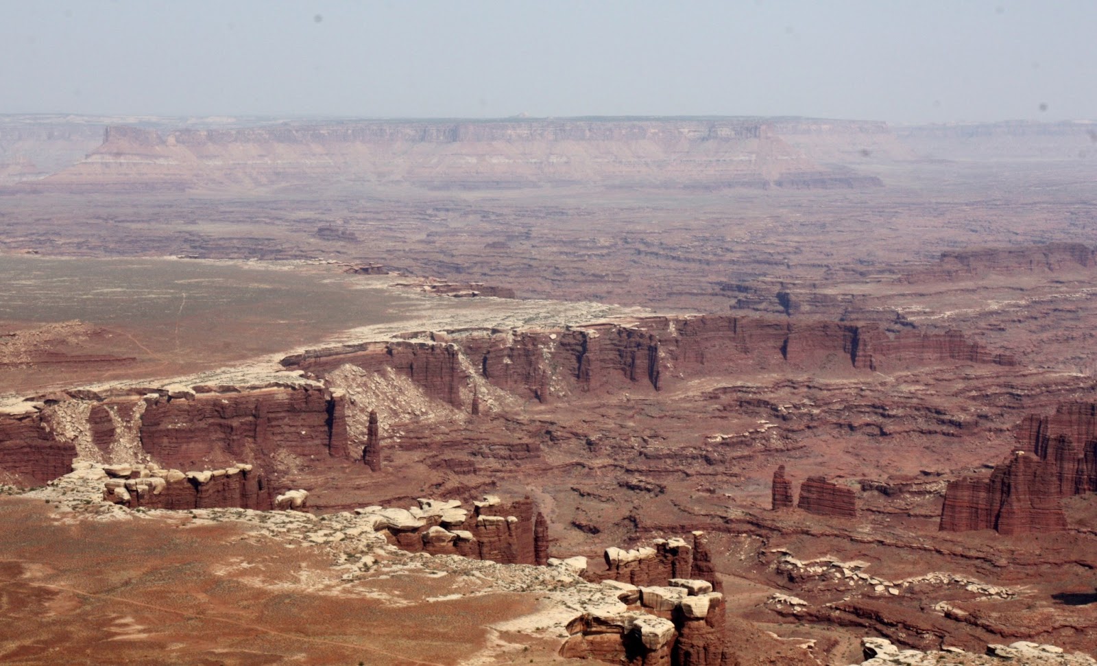
We found the same thing at Buck Canyon Overlook and White Rim Overlook but took some pictures anyways.

White Rim Canyon

White Rim Canyon

Buck Canyon


At this point in the day we had two areas left that we wanted to look at, Grand View Point Overlook and Mesa Arch.  The good news is that is later in the day so the sun is in a better position for taking pictures.  We still had the problem with the haze which eliminated the view of the sky.  However, the view from this high was incredible and we spent a little time walking the rim trail.



In order to view Mesa Arch we had to make a short ½ mile hike.  It was worth the trip as it gave us a clear view with the right conditions.  The only problem was that it was starting to fall so Kathy had to hold it up while I got pictures.
Oh, all right, it's trick photography.


We finished up in The Island in the Sky portion of Canyonland National Monument and we were quite pleased with our time here.  We got to do a little hiking and we saw some beautiful scenery, even if the pictures weren’t all that great. 

However, our day was not finished.  When  we were at Dead Horse Point we were told by the rangers that they get some phenomenal sunsets so we thought we would go back to check it out and maybe get a few shots.  When we arrived we could see that the smoke had settled in even more which made getting landscape shots not any better than it was during the day.  However, we were able to get a few unique sun set pictures.


We left Dead Horse Point for the RV Park with mixed feelings.  We really enjoyed the date as the sights were incredible and we definitely enjoyed the sunset overlooking the canyon.  The only aspect that was disappointing was the quality of the pictures.  I guess you can’t have everything.  Tomorrow we are going to spend some time in Arches National Monument.

July 9, 2013

JULY 8, 2013 HIGHWAY 128 SCENIC BYWAY AND MANTI-LA SAL NATIONAL FOREST

We wanted a more relaxed day so we decided to take a drive along the Colorado River and then into the La Sal Mountains.  The drive along the Colorado was achieved by taking Hwy 128 which is classified as a Scenic Byway and started just outside of Moab.  I initially thought it might be a long day.


However, there was only a little construction during the initial phase of the highway.  The drive followed the Colorado River for almost the entire length of the 40 mile drive. 


The first part of the drive had us travelling through a narrow canyon with river right beside us.  I would imagine that this would be a minor version of what you would see if you were at the bottom of the Grand Canyon. 

 
One of the big sporting attractions on this part of the river is rafting.  It cannot be called white water rafting as the faster water is not that severe.  It is more like floating and the people we did see rafting seemed to be enjoying themselves.

 
Further along the drive the canyon opened up into a larger valley.  It still had the cliffs surrounding it but it definitely took on a different look.  It had a Monument Valley look to it with the same colors and shapes.  It was quite impressive.


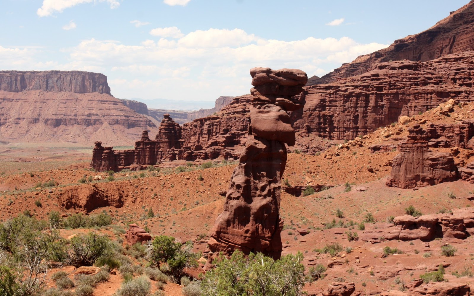
Just prior to reentering the canyon from the valley we saw Fisher Towers.  It had a look that stood out and we were hoping we would be able to get closer.
 
It turns out our wish came true as there was a dirt road that took us into the towers.  In spite of it being gravel we turned in anyways and saw the towers take on their unique shape as we got closer.


When we reached the end of the road we saw that there were a couple of trails that would take you behind and under the towers.  There was also a photography trail that was shorter but would take you to an overlook.   We took the shorter trail and climbed up to get a closer view of the towers.  It gave us a very nice view but it was almost too close for pictures as I couldn’t get everything in I wanted to.
 
While we were on the overlook we were able to get a good look at the surrounding area.


We exited the valley and back into the canyon for the rest of the drive.  We just enjoyed the views and the leisurely pace of the day.


In order to get to the Manti-La Sal National Forest we had to back track a few miles until we came to Castle Rock Road.  Shortly after turning onto the road we got our first view of our destination.

 
We passed Castle Rock and continued on the road until we came to the entrance to the forest.
Castle Rock


As we climbed into the mountains we were treated with some spectacular views of the forest.


The most stunning view was back towards the valley we had travelled earlier.  The view from the top of the road was unbelievable and we stopped and enjoyed it with every turn on the switchback.  Unfortunately it was the wrong time of the day to be taking pictures.  We were looking right into the sun and the pictures are very washed out.  It was very impressive to the naked eye.


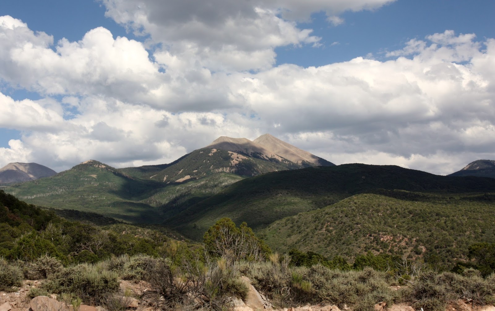
Once we reached the top we had a good look at the highest peaks in the La Sal Mountains.  This time the sun was in our favor so we stopped an took quite a few pictures.


Quite often in the past these mountains would be snow covered the entire year, but not lately.  We were now on our way down so we just kept going and headed back to the RV Park, it was quite late and we were hungry. It was a nice leisurely day.

The day was capped off with a nice sunset view from our campsite.  The hills came alive with the setting sun.  I took these pictures from right in front of our coach as we enjoyed the sunset.