May 19, 2013

MAY 18, 2013  BIG BEND NATIONAL PARK – DAY 1

We awoke to a staggering view this morning.  We are at the Maverick RV Park in Lahitas, Texas and there are mountains all around us.  They are not as high as some we have seen, but beautiful just the same.


After we had breakfast we headed towards Big Bend National Park.  This was the real reason we are in this area as we have been trying to get here for 12 years.  In order to get to the park entrance we had to backtrack along Hwy 170 to Study Butte where we met the 118 and turned south for a few miles until we came to the park entrance.

Finally, we are here!!!!!!

Our first stop was going to be the Visitors Centre which was approximately 20 miles inside the park.  The posted speed limit was 45 mph which made it nice for stopping and taking pictures.  The drive to the Visitors Centre gave a very good look at the Chisos Mountains with its many different looks.


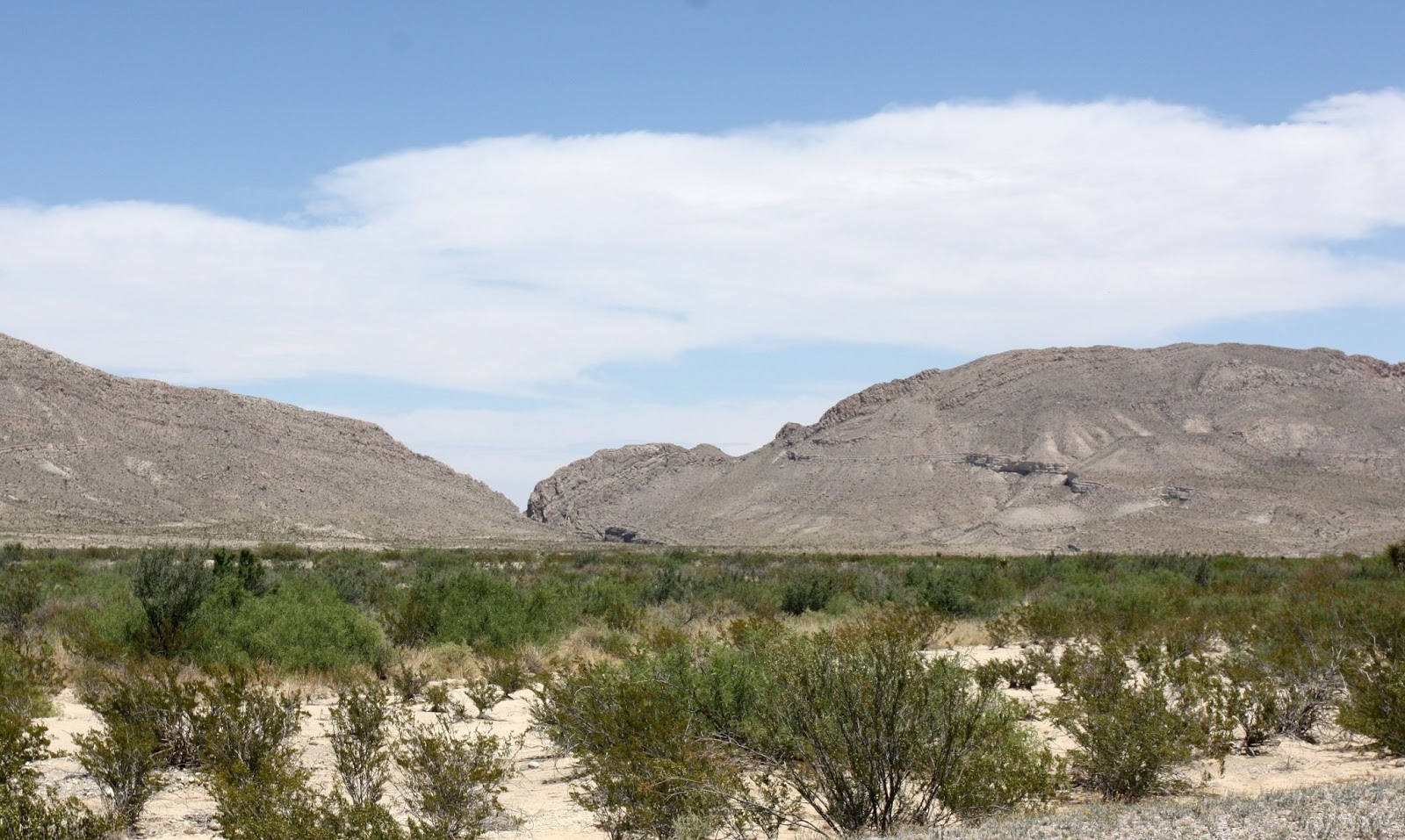
There are many things to see and do in the park and today we decided to make the drive North through the Tornillo Flats.  This low lying area with its sparse plant life and mountains on all sides of us gave a real feeling of being in The Chihuahuan Desert.


We stopped for late lunch at a Fossil Bone Exhibit and observed the artifacts that were stored in a glass viewing case.  At a time like this it is hard to fathom that the earth is 4.5 billion years old and extinct animals roamed where were standing 50 – 70 million years ago. 


We carried on with our drive after lunch and just enjoyed the day.  Hiking is not very comfortable at this time of year as it hit 101 degrees.  We will be doing some hiking but are going to be very selective.  The drive took us towards the North Exit and the Santiago Mountains.


 We learned at the visitors Centre that Big Bend Park came to be as a result of Volcanic Activity.  During our drive we saw quite a few cones of various sizes.


We decided that the Volcanic Activity mainly happened when the park was still a sea.  Of course, when we decide on anything, it must be fact.
We reached the north entrance, turned around and retraced our steps back to Lahitas.  It gave us a different view and of course we stopped to take a few more pictures.


Upon arriving at Lahitas we stopped at the Lahitas Resort to have a look at the General Store, Restaurants and Bakery.  Especially the bakery, however it was closed.  Dog Gone it.  Kathy felt sorry for me and made brownies.  It was a great way to end a great day.


May 17, 2013

MAY 15,16 & 17  ALPINE AND THE DRIVE TO LAHITAS

We learned of another RV park closer to both Big Bend National Park and Big Bend Ranch State Park.  Actually we knew of it but we discovered that it was big rig friendly and that the roads into it were pretty good.  So we made the decision to spend a few days there as it will make it much easier exploring the Big Bend Country.

We had booked and paid for a week’s stay the Lost Horizon RV Park so we still had a couple of days left.  We have done pretty much what we wanted to in the area so we decided to just relax for a couple of days before heading south.   We just enjoyed the campsite and the view and lazed around.  We did have to do a few chores but we were pretty lazy and enjoyed it immensely. 
View from RV Park


Lost Horizon RV Park

View from the RV Park


We left Alpine on the morning of the 17th with our destination being Lahitas, Texas home of the Maverick RV Park. 
View of Alpine as we climbed into the Del Norte Mountains
 The initial part of our route is taking us south on Hwy through the Del Norte Mountains before we drop down on to the plains of the Chihuahuan Desert.  We also had a view of the Santiago Mountains to the east.  You can see from the pictures that there was quite a change in the terrain.
Cathedral Mountain


As we approached the turn off to Highway 170 and closer to the park the terrain changed even more.   It became very rocky, very barren and started to gain some altitude.  This is the beginning of the Chisos Mountains which make up most of Big Bend National Park.


We reached the turnoff to Lahitas and turned west toward Big Bend Ranch State Park.  Again we saw a change in terrain as we had turned away from the Chisos Mountains.  When we turned off we were about 16 miles from the RV Park.


We eventually arrived at the RV site and got set up.  As easy as it is to set up this coach the heat made it much more difficult.  It was a100 degrees with no shade.  Once we had finished setting up the outside and doing what had to been done inside it was the middle of the afternoon.  We had a late lunch and decided to wait to tomorrow to go exploring.  The landscape we have seen today has us excited to see the scenery in Big Bend National Park.    That adventure starts tomorrow.

May 15, 2013


MAY 13 & 14    CHIHUAHUAN DESERT NATURE CENTER AND BOTANICAL GARDENS

Tuesday, May 14 was a nothing day.  We heard nothing, we saw nothing and we did nothing.  Well OK, I did do due a little blogging and there was some napping going on but that was about it.  Actually it was a pretty good day.

After our inactivity on Tuesday we decided to venture out and do a little hiking.  So we headed a few miles down the road to the Chichuahuan Desert Nature Center and Botanical Gardens. 


We decided to forgo the Botanical Gardens as most of the plants and trees we would see on our hike.  The most surprising thing I learned by coming here today is the size of the Chihuahuan Desert.  It extends from near Albuquerque, New Mexico to just north of Mexico City.  It covers over 220,000 square miles and that makes it the largest of the four North American Deserts. What is also unique about this desert is the elevation range.  The Rio Grande cuts through the lowest part at about 1000 feet elevation while isolated mountain ranges top out at over 10,000 feet above sea level. 

After our history lesson we started on our hike which initially took us into a canyon that was quite steep in places. You had to make sure you were watching where you put your feet as it would be easy to twist an ankle.  Of course, you also want to watch where you place hands and feet as they have these little things here called snakes and scorpions.  As we approached the canyon we had another view of Mitre Peak in the distance.

This is not our first Mitre Peak.  When we were in New Zealand, Milford Sound to be specific we saw another Mitre Peak.  It was just as imposing and also stood out by itself.
Mitre Peak - Texas


Mitre Peak - New Zealand


 We reached the canyon and started down and followed it for awhile.  They have a monsoon season here and flash floods are not uncommon.  You can see that this canyon would not be a very safe place if it was raining.


We came to the point where we had to climb out of the canyon which I learned is Modesta Canyon. The balance of the hike was along the ridges of Lions Head Hill.  It gave us a nice view of the surrounding country side.


 During the hike we also saw a lot of different plant life and vegetation.  I do not know the names of all of them but I took pictures anyways.  Here are a few of them.
Desert Spoon

Purple Prickly Pear


Prickly Pear in Bloom


We actually cut our hike short as we were done in, me more than Kathy.  The heat, altitude and not being properly hydrated took its toll on us, even with drinking a lot of water as we hiked.  Hydration really has to be done the day prior.   Altitude sickness is not very fun so we cut across country and headed for the car where we had a bit to eat.  From there we went back into town to get a few things in preparation for tomorrow. 
Overall it was another good retirement day.