This is one area we have been looking forward to spending
time in. Today the Bisti/De-Na-Zin
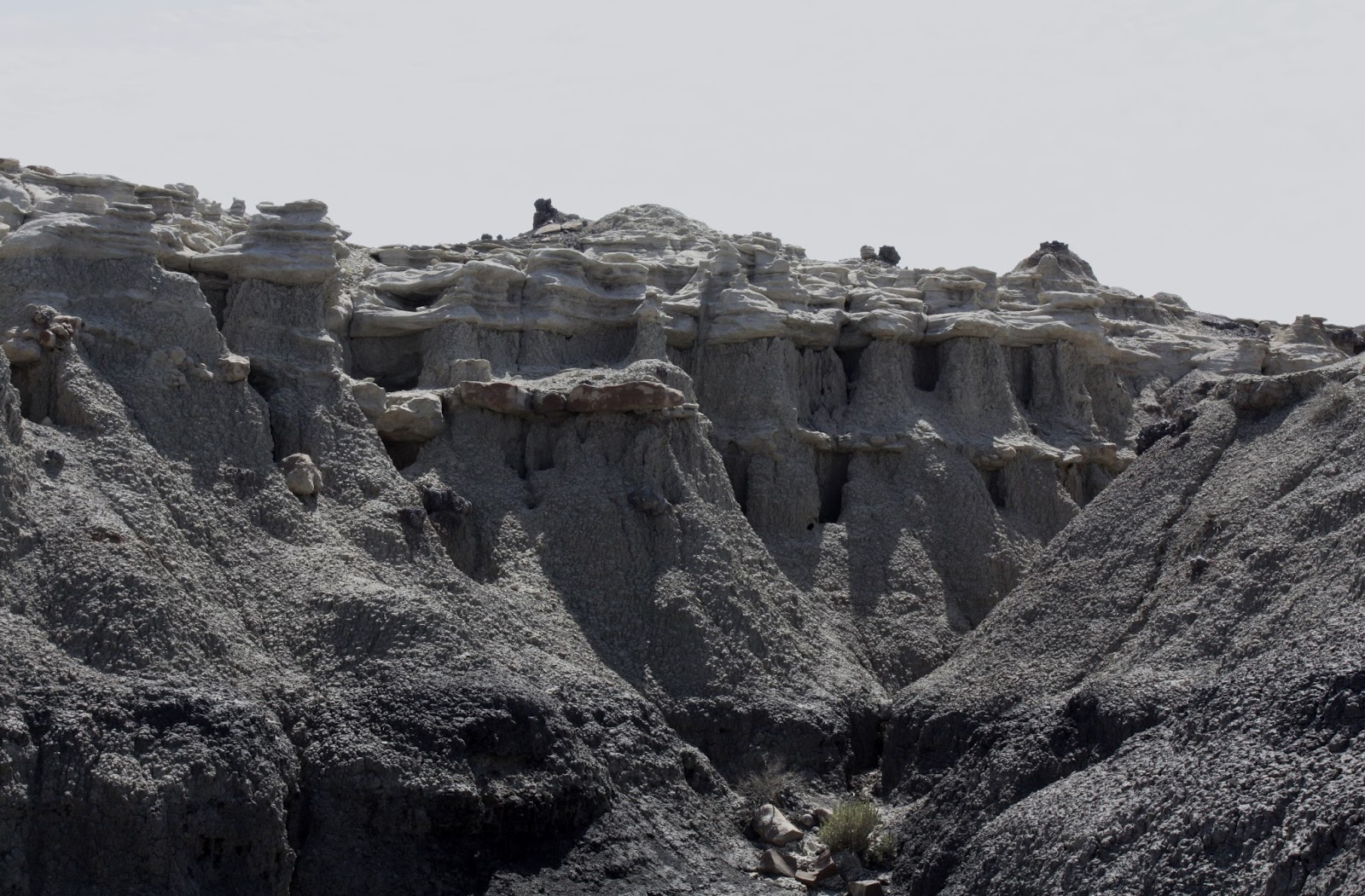
Wilderness is a remote desolate area of steeply eroded badlands which offers
some of the most unusual scenery found in the Four Corners region. There are two major geological formations
found in the wilderness, the Fruitland Formation and the Kirtland Shale. The Fruitland Formation makes up most of the
badlands and contains interbedded sandstone, shale, mudstone, coal and
silt. This is where we headed first.
We arrived at the turnoff to the badlands travelled a couple
of more miles to the parking lot. We
then got ready to do some hiking as it was about two miles across a wash to get
into the interesting area.
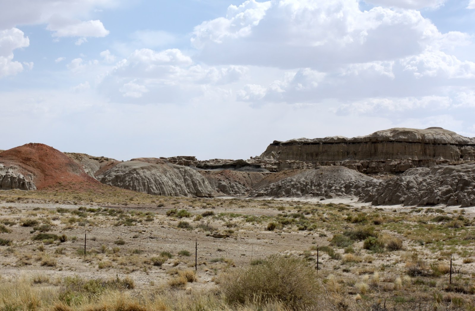
We were told to aim for two red hills and shortly after we
reached them we started to see some pretty rugged and desolate country.
We ventured into a few of the canyons and it was amazing how
similar they looked.
As we were exploring the canyons we could see how easy it
would be to get turned around. Everything
we read warned us that it was very easy to get lost and we were advised to take
a compass or a GPS if we were going to be doing any hiking. We had neither. Kathy insisted we were lost a couple of times
but I assured her that was impossible.
We men NEVER get lost and besides that there was no one to ask for
directions anyways.
There was one area we ventured into that was quite unique. It almost looked like someone created it.
At this point we cut across the wash to get a look at some
of the shapes we could see in the distance.
We were also finding remains of petrified tree stumps.
We crossed the wash, took a few pictures and then decided to
head back to the car. We had been gone
for over 2 hours, had hiked around 3 miles, had 1 ½ miles back to the car and
we were running out of water. Oh, and
just to make things interesting, it was 101 degrees,
We still wanted to see the Kirtland Shale which contains
rock of various colors and dominates the eastern part of the Wilderness. This involved getting back onto the highway
and continuing 7 miles south before taking a gravel road 13 miles to the
desired parking lot. We had a short 1
mile hike to get a view of the colored rocks, we hoped. All we could see at this point was small
green shrubs for as far as the eye can see.
We crossed the wash, took a few pictures and then decided to
head back to the car. We had been gone
for over 2 hours, had hiked around 3 miles, had 1 ½ miles back to the car and
we were running out of water. Oh, and
just to make things interesting, it was 101 degrees.
We were still too far away to
really appreciate the color and shapes but decided that we had done enough for
the day. It was still very hot and we
were short of water, not a good idea to go any further. This is one area I would love to come back
and do some serious hiking. I would make
sure that we had a GPS with us and 25 degrees cooler would certainly help.
It was still fairly early so we
thought we would continue south and have a look at the countryside. The area along this highway was scarcely
populated but was still a very interesting drive. It was amazing the changes we saw in a short
90 miles. We went from flat farmland,
mesas’, sand dunes, uniquely shaped rocks to small mountain ranges. This doesn’t include the incredible sights we
saw at the Wilderness. It made for an
interesting afternoon with a lot of picture taking.
We
were tired from the hiking but it was a good tired. Another great day of retirement


.JPG)